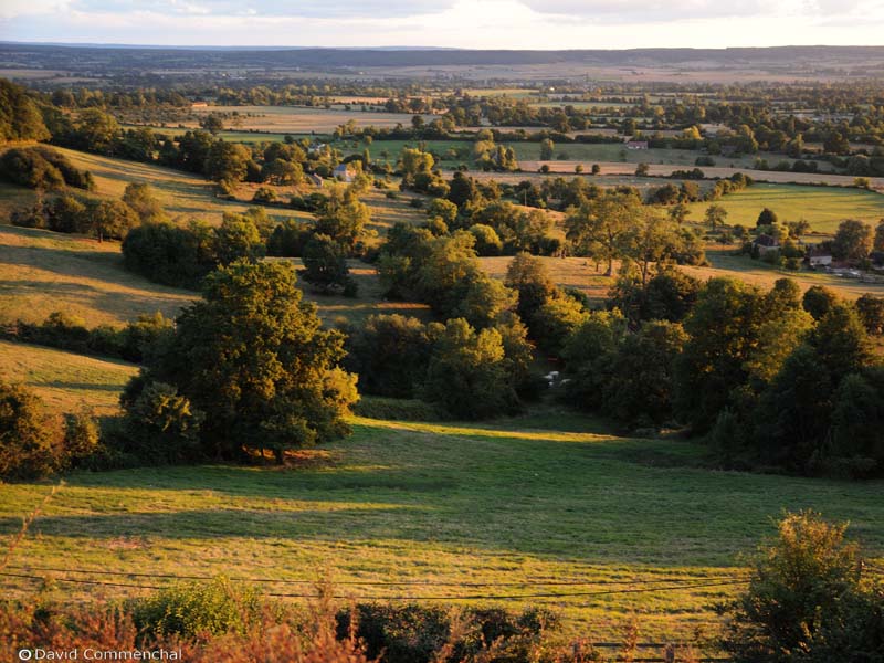

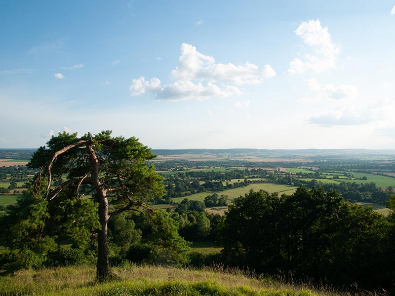


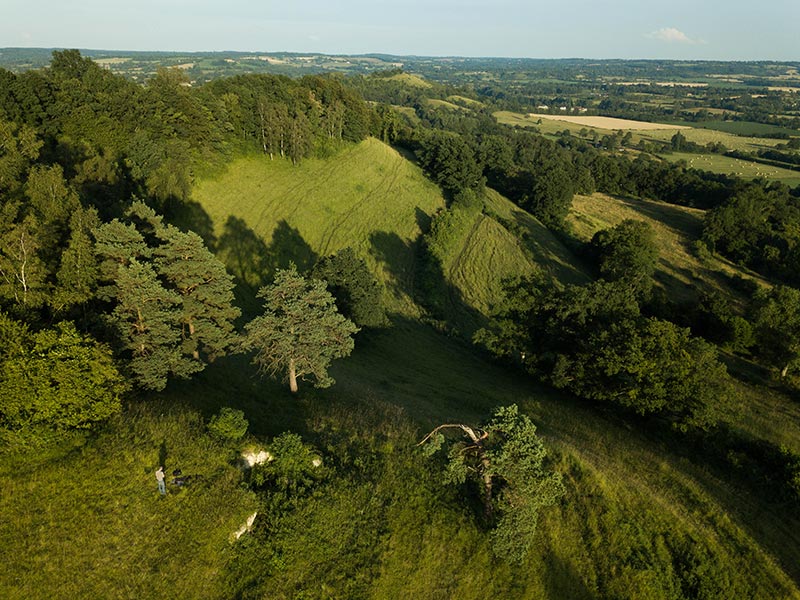


From Chambois, the mosaic of its fields of crops and apple trees bordered by live hedgerows stretches out of site. Suddenly your gaze stops and lifts by 100 metres. Where the bocage disappears, and the "cuesta" rises. Around 4km in length, this Sensitive Natural Site covers an area of over 240 acres, the length of this natural barrier. The Dives plain stops dead here, overlooked by high ground on all sides: to the south, the Gouffern forest, to the east and north, the bocage hillsides that mark the boundaries of the Pays d'Auge. This enclosure and its geological and topographical peculiarity enabled the Allied armies to close the "Falaise Pocket" and take a decisive victory in the Battle of Normandy in 1944. Its protection means it has preserved its typical Norman countryside features, which had such a profound effect on this chapter in history.
Site open all year round. Marked trails.
Access via the Mémorial de Montormel and Coudehard town hall car parks.
For guided tours, contact: Mémorial de Montormel