Updated on 19 October 2020
Reading time: 1 minutes
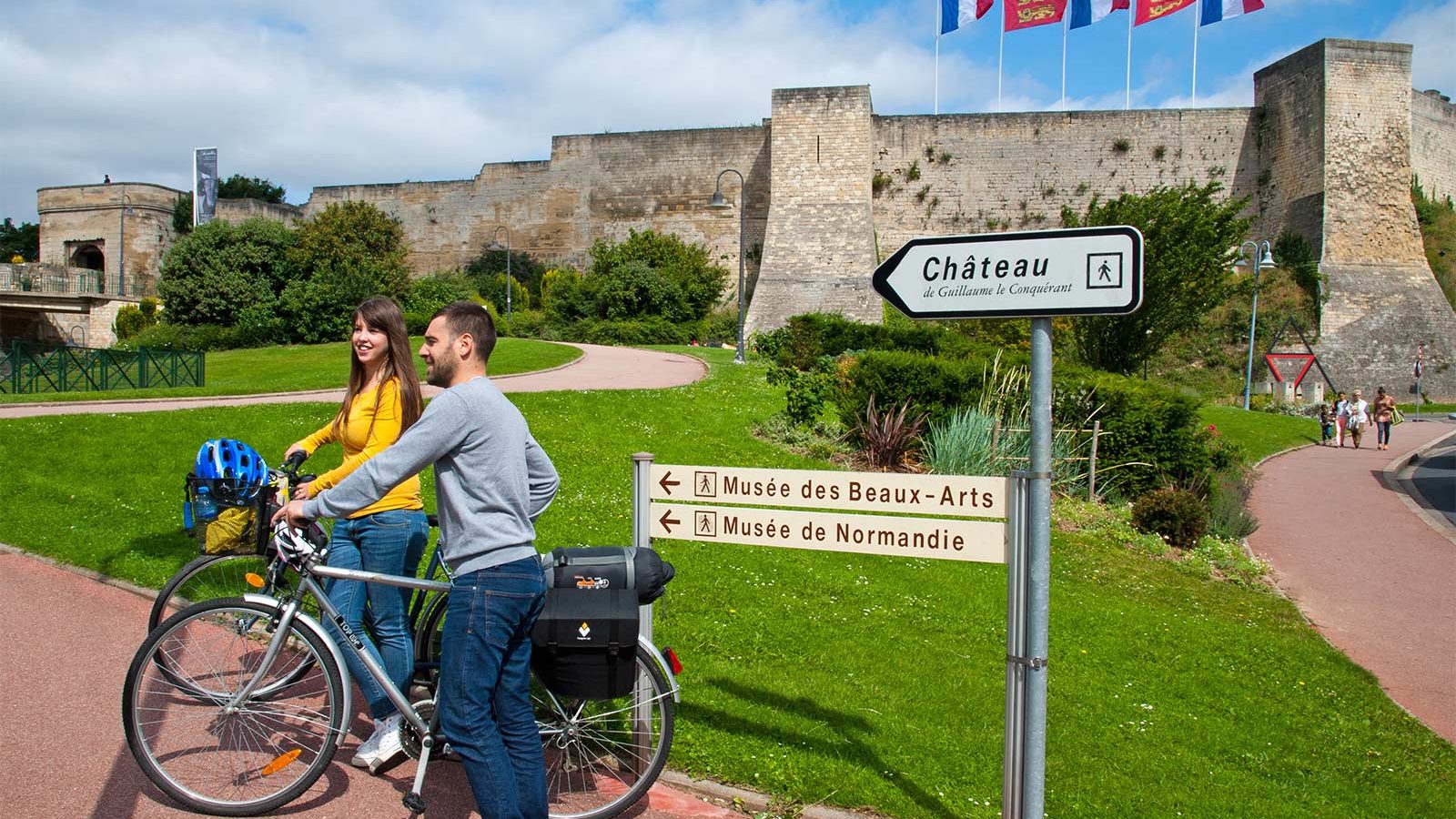
If you’re looking for a little inspiration for your next cycling trip to Normandy, you’ve come to the right place. From short to multi-day rides, from foodie to historical trails, discover our full collection of cycle routes across the region. Find the perfect one for you by clicking on any of the cycle routes below to see a full breakdown of the route, distances, elevation, and heritage sites or hidden gems along the way. Feel free to download, print or share!
Forêt de Grimbosq


The Grimbosq Forest (covering 475 hectares) is the property of the town of Caen and is located 19km to the south of the town and 7km from Thury Harcourt. Several attractions on site: marked walking routes, picnic area, pond, animal park, arboretums with forest species and special collections, "Olivet" feudal mound (alongside the GR36, archaeological site) and mountain biking route.
Further information
Author
OT Suisse Normande
Contact
E-mail : [email protected]
Telephone : 02 31 75 49 50
IGN MAP

OPEN STREET MAP

Author Information


