Updated on 19 October 2020
Reading time: 1 minutes
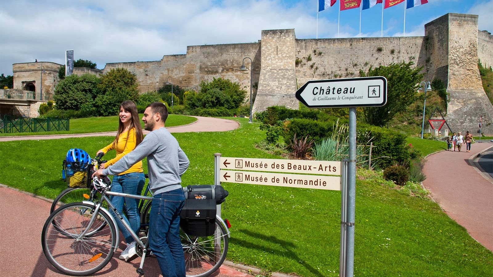
If you’re looking for a little inspiration for your next cycling trip to Normandy, you’ve come to the right place. From short to multi-day rides, from foodie to historical trails, discover our full collection of cycle routes across the region. Find the perfect one for you by clicking on any of the cycle routes below to see a full breakdown of the route, distances, elevation, and heritage sites or hidden gems along the way. Feel free to download, print or share!
Le Hôme beach


At the foot of the dune, discover the fine sandy beach of Hôme Varaville, between Merville-Franceville-Plage and Cabourg. For lovers of coastal vistas, don't miss the spot at the top of the dune for a breathtaking view of the sea!
Pets are allowed on the beach, on a leash, all day every day from October 1 to June 15, and from 8 p.m. to 9 a.m. from June 16 to September 30 (except on the left of rue Bracke Morel, which is continuous).
Further information
Author
OT Normandie Cabourg Pays d'Auge
Contact
E-mail : [email protected]
Telephone : 02 31 24 73 83
IGN MAP

OPEN STREET MAP

Author Information

14390 Cabourg


