Updated on 19 October 2020
Reading time: 1 minutes
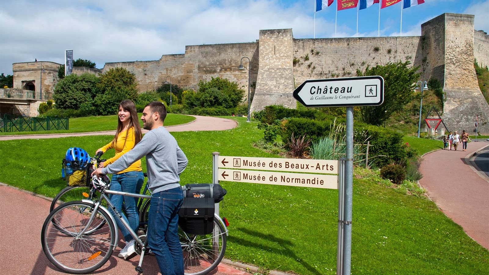
If you’re looking for a little inspiration for your next cycling trip to Normandy, you’ve come to the right place. From short to multi-day rides, from foodie to historical trails, discover our full collection of cycle routes across the region. Find the perfect one for you by clicking on any of the cycle routes below to see a full breakdown of the route, distances, elevation, and heritage sites or hidden gems along the way. Feel free to download, print or share!
Plage de Saint Aubin-sur-Mer


Until 1851, Saint-Aubin, a fishermen's hamlet, was part of the commune of Langrune. The town was emancipated and owes its development to the sea bathing industry. The medicinal virtues of the sea water and its invigorating air earned it, and still earns it today, the appellation The Queen of Iodine.
The Belle Epoque atmosphere of the seawall and its villas, the casino and the five restaurants on the seafront are a delight for holidaymakers.
The 1.8 km long pedestrian seawall is lined with beautiful villas with seaside architecture.
On the beach, you can see wooden poles connected by large ropes: these are the remains of the "rope bathing" era. They allowed bathers to enjoy the benefits of the water in complete safety. You can still hang on to them for safe bathing.
Supervised swimming: supervised beach in July and August, according to tide times.
station-saintaubin.snsm.org/
Showers: in front of the tourist office on the beach, at the first aid post, in summer
WC: all year round in the car park on rue de Verdun (PMR), Rue de la fosse aux chats, Place du Marché, corner of rue pasteur and rue Mériel, rue Maréchal Joffre near the media library. In summer: WC under the first aid post.
Cycling: cycling is prohibited on the Saint-Aubin-sur-Mer seawall all year round. There is a shared road in rue Pasteur.
Saint-Aubin-sur-Mer is on the Vélomaritime route. This 1,500 km cycle route from Roscoff to Dunkirk crosses legendary sites such as the D-Day landing beaches, Mont-Saint-Michel and the cliffs of Etretat.
Access for people with disabilities:
Accessible sea wall. Parking and WC for disabled persons (opposite Hôtel Le Saint-Aubin). 1 free Tiralo available at the first aid post on the sea wall in July and August. 1 Carpet allows access to the beach at the slipway, opposite the Green Crab restaurant.
Our friends the dogs:
Dogs are allowed on the beach all year round, except from 15 June to 31 August in the area between the Green Crab restaurant and the summer sailing club.
Please remember to bring a doggie waste bag!
Horses:
At low tide outside the supervised swimming areas.
Access from the Brèche des Acadiens. Obligation to pick up the droppings left by your horse on the beach.
Further information
Author
OT Coeur de Nacre
Contact
Telephone : 02 31 97 30 41
IGN MAP

OPEN STREET MAP

Author Information


