Updated on 19 October 2020
Reading time: 1 minutes
If you’re looking for a little inspiration for your next cycling trip to Normandy, you’ve come to the right place. From short to multi-day rides, from foodie to historical trails, discover our full collection of cycle routes across the region. Find the perfect one for you by clicking on any of the cycle routes below to see a full breakdown of the route, distances, elevation, and heritage sites or hidden gems along the way. Feel free to download, print or share!
Author Information

La Vélo Francette, Voie verte Ouistreham Caen, canal latéral à l'Orne


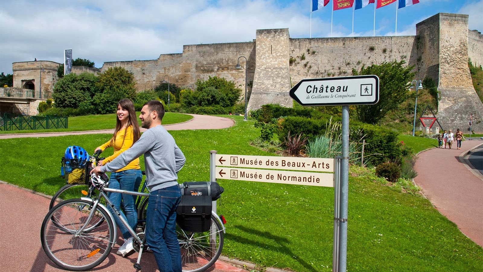
Au départ d’Ouistreham et de sa gare ferry : plage du débarquement plus connue sous le nom de code "Sword", vous longez le canal de l’Orne et son ancien chemin de halage aménagé en voie verte reliant le littoral à Caen. Au passage les cyclotouristes pourront admirer le pont de Pegasus Bridge, lieu historique du D- Day. Une piste cyclable les conduira jusqu’au port de plaisance de Caen, cité d'histoire avec son Mémorial pour la paix et les édifices de Guillaume le Conquérant : château, abbayes…
Further information
Types de sol
Bitume
IGN MAP

OPEN STREET MAP

Starting point
14150 Ouistreham


