Updated on 19 October 2020
Reading time: 1 minutes
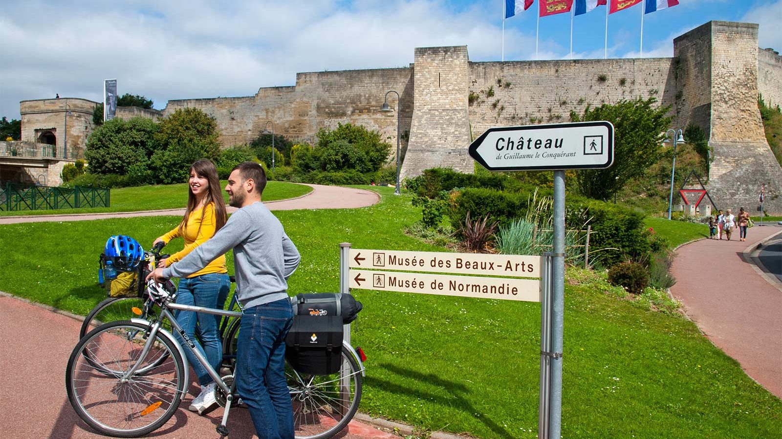
If you’re looking for a little inspiration for your next cycling trip to Normandy, you’ve come to the right place. From short to multi-day rides, from foodie to historical trails, discover our full collection of cycle routes across the region. Find the perfect one for you by clicking on any of the cycle routes below to see a full breakdown of the route, distances, elevation, and heritage sites or hidden gems along the way. Feel free to download, print or share!
Author Information

Vélo Francette : de Thury-Harcourt à Pont-d'Ouilly


Further information
Services
Green way, Shared lane
IGN MAP

OPEN STREET MAP

Starting point

Château d'Harcourt
Of the castle that once belonged to the Harcourt family, hitherto known as the Versailles of Normandy, all that remains today are the park and the scorched facade of the former entrance vestibule, the chapel and the outbuildings. It was once one of the finest buildings in Normandy. The castle, which once boasted a total of 264 windows, was comprised of a vast gallery overlooking the River Orne below, and of ten aligned lounges which led to the chapel. On the 12th of August 1944, as the British 59th Infantry Division reached the outskirts of Thury-Harcourt, the infamous SS Das Reich division that occupied the town set fire to the castle, reducing its precious furnishings to cinders, along with over 150 old paintings and a library with over 15,000 books.


Location vélo - Thury Plein Air
With our bike hire service, you can explore the Suisse Normande region on mountain bikes, VTCs, electric bikes and adapted bikes on the greenway towards Caen or Clécy, and on the mountain bike trails accessible from the entrance to the open-air base.

Brasserie artisanale de La Lie
Small-scale traditional Normandy beer making by two master brewers. Bottled and draught beers: white, lager, amber, dark ale.

Le Pain de Sucre
The Suisse Normande Route takes you on a journey through rugged and steep landscapes as you meander your way along the winding banks of the Orne. From Saint-Omer, a number of breathtaking viewpoints offer you panoramic views from the ‘Pain de Sucre’ and the ‘Rochers des Parcs’ that comprise the Crest Route.
These steep rocks, known as the 'sugar bread', cover a 171 metre height difference through heaths, woodland, acidophilic grassland and meadows.

Les rochers de la Houle
The River Orne runs alongside the abrupt crags, dominated by a rock referred to as the Pain de Sucre (literally sugar bread), at the extremity of the La Houle rocks with which it forms the "Route des Crêtes" (the Crest Route).

Les rochers des Parcs
This emblematic Suisse Normande site is well known for its rocky escarpments and can be visited from below, along the banks of the Orne, or from above, along the pathway that overlooks the cliff. It is a particularly popular site among climbing enthusiasts. The wealth and the originality of its natural environment (heath, dry grassland, wooded hills...) render the site a remarkable natural area.

Location de vélos - L'épicerie du Coing
Rental of power-assisted bikes and standard bikes at the épicerie du Coing (Grocery Store), located in the heart of the village of Pont-d'Ouilly, an ideal starting point for discovering Suisse Normande


