Updated on 19 October 2020
Reading time: 1 minutes
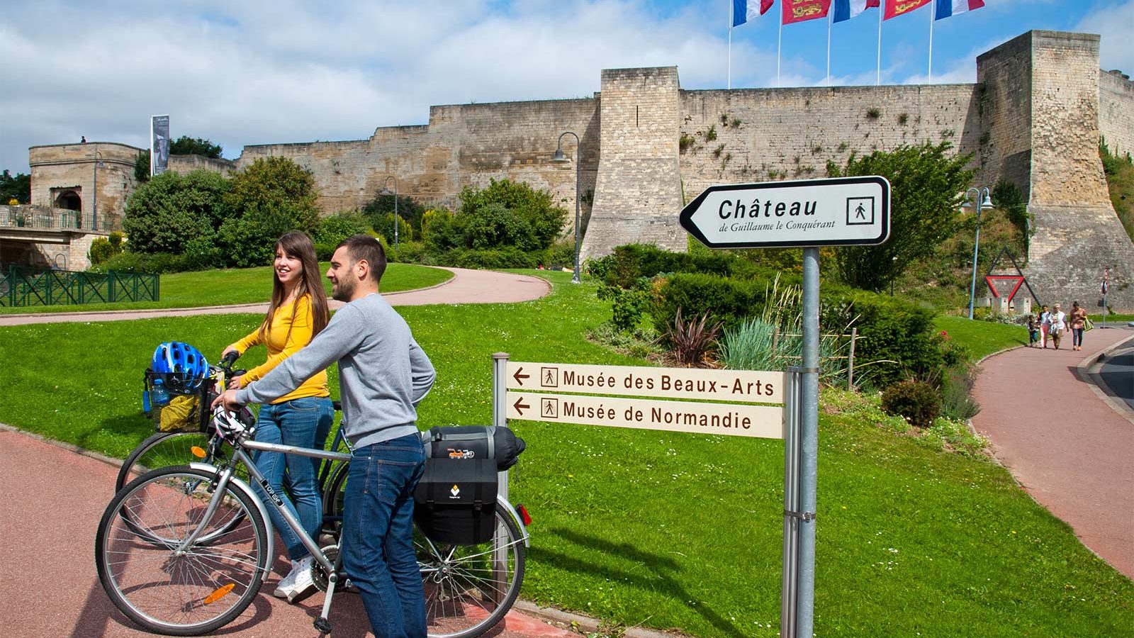
If you’re looking for a little inspiration for your next cycling trip to Normandy, you’ve come to the right place. From short to multi-day rides, from foodie to historical trails, discover our full collection of cycle routes across the region. Find the perfect one for you by clicking on any of the cycle routes below to see a full breakdown of the route, distances, elevation, and heritage sites or hidden gems along the way. Feel free to download, print or share!
Arromanches 360 - Cinéma Circulaire


"The 100 days of Normandy"
The images projected on nine screens stem from British, Canadian, German, American and French archives.
On both sides of the Channel, one was preparing for this longawaited moment. Then, in spite of unfavorable weather conditions, came the morning of June 6, 1944, the fi rst step towards the liberation of Western Europe. From the landings on the 5 beaches of the Manche and Calvados departments to the tragic bombing of
Le Havre on September 12, the Battle of Normandy lasted 100 days. Experience 20 minutes of pure historical intensity!
To improve the visitor experience, our reception area has been fully redesigned: maps, the chronology and the outcome of the Battle of Normandy are now presented. Several British military artifacts from the Caen Mémorial collection are also on display.
Film screened every 30 minutes, on the hour and at the half hour.
Commentary overlooking the artificial harbour from the cinema’s terrace roof (30 minutes) during school holidays).
Further information
Website
Author
OT Bayeux Intercom
Contact
E-mail : [email protected]
Telephone : 02 31 06 06 45
IGN MAP

OPEN STREET MAP

Author Information


