Updated on 19 October 2020
Reading time: 1 minutes
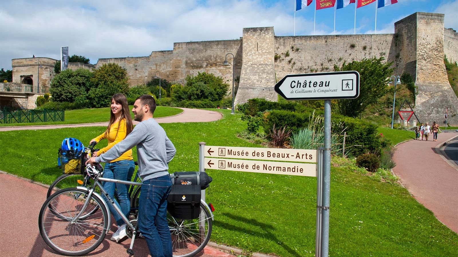
If you’re looking for a little inspiration for your next cycling trip to Normandy, you’ve come to the right place. From short to multi-day rides, from foodie to historical trails, discover our full collection of cycle routes across the region. Find the perfect one for you by clicking on any of the cycle routes below to see a full breakdown of the route, distances, elevation, and heritage sites or hidden gems along the way. Feel free to download, print or share!
Langrune-sur-Mer beach


With a beach that is perfect for lounging, sandcastles and fishing, it is no wonder that the commune has been nicknamed "the children's beach".
It is also well known to water sports enthusiasts as it is an essential spot on the Côte de Nacre for kitesurfing and wingfoil.
On a human scale, quiet and friendly, Langrune-sur-Mer is no less dynamic with its sailing school which offers a range of water sports activities from the age of 5: catamaran, aquatic walking, moussaillon course, windfoil, wingfoil, kitesurf...
Supervised swimming: The supervised area and the first aid post are located at the Rue de la Mer. Supervision of the beach takes place in July and August.
The shower: next to the first aid post, in summer only
Toilets: Place du 6 juin (PRM) and on the high seawall between the lifeguard station and the sailing club (not PRM)
Bicycles: Bicycles are allowed on the upper breakwater all year round. On the lower breakwater, cyclists must put their foot down.
Langrune-sur-Mer is on the Vélomaritime route. This 1,500 km long cycle route from Roscoff to Dunkirk passes through legendary sites such as the D-Day landing beaches, Mont-Saint-Michel and the cliffs of Etretat.
Access for people with disabilities: Handiplage level 1. Dyke accessible with assistance (steep slope) from the parking area (Place du 6 juin) to the dyke. Parking and WC for disabled persons on the Place du 6 juin. PRM vest on the seawall. Provision of a PRM beach chair (Tiralo type) at the first aid post.
Our friends the dogs:
Dogs are allowed on a lead at low tide, only on the wet sand area, from 16 September to 14 June inclusive.
Remember to bring a doggy waste bag!
Horses:
At low tide only from mid-September to mid-June. Access at the crossroads of the Promenade Aristide Briand/rue du Maréchal Montgomery and access at the Promenade Aristide Briand. It is compulsory to pick up the droppings left by your horse on the beach.
Further information
Author
OT Coeur de Nacre
Contact
Telephone : 02 31 97 30 41
IGN MAP

OPEN STREET MAP

Author Information


