Updated on 29 June 2020
Reading time: 3 minutes
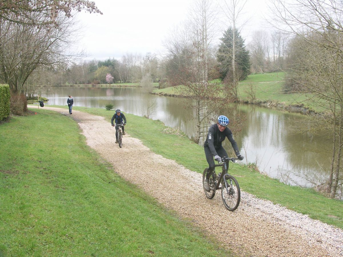
Normandy is a well-known mountain biking destination for the variety of its landscapes and great trails options. Whether it’s family-friendly rides on flat terrain or more challenging mountain biking on rugged terrain you’re after, all five of Normandy’s départements offer stunning cycle routes and mountain biking trails to suit all abilities.
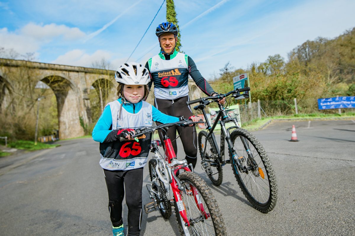
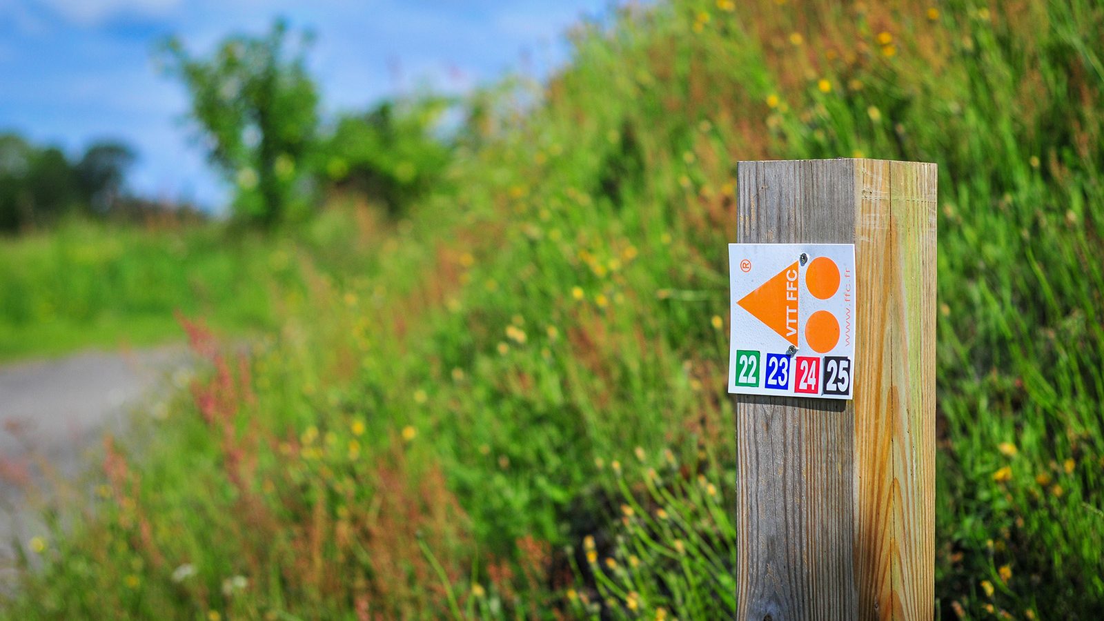
The Calvados département is one of the ‘must ride’ areas for mountain biking. It features several mountain bike sites, some of which are labelled by the French Cyclotourism Federation, such as in the bocage virois or the valleys of the Suisse Normande for more challenging riding. Mountain biking trails can also be found around Lisieux and around Falaise. For inspiration, check out the cycle guide for itineraries in Calvados by selecting them in ‘targets’ – ‘mountain bike’.
Whether you’re an adrenaline-seeking speed addict, a cross country fanatic craving a leg-stretching long ride, or simply want to experience off-road biking in a beautiful and inspiring environment — the Eure département has got the mountain biking trails for you, such as the Chemin des sources bleues trail in Aizier or the Chemin du Rossignol in Saint-Philbert-sur-Risle. Find more information here.
The Manche département offers a striking collection of cycling and mountain biking opportunities, with more than 100 mountain bike trails that showcase the area’s diverse landscapes from Tatihou to the Mont-Saint-Michel, via Saint-Lô or Villedieu-Les-Poêles. From advanced competitors to beginners and families, you can also discover trails to suit your skill level on the mountain bike website labeled by the French Cyclist Federation in the Vallée de la Sée.
Discover more than 80 dedicated mountain bike trails in the Seine-Maritime département around Auffay, Bacqueville-en-Caux, Longueville-sur-Scie, Mesnières-en-Bray, Neufchatel-en-Bray or in the Val-de-Saane. So, grab your helmet and head out for a beautiful mountain bike ride from the selection here. The mountain bike federation VTT-FFC website in Caux Vallée de Seine also features some itineraries here.
Explore kilometres of mountain biking trails in the Orne département, from gentle family friendly off-road routes in the forest to bike skills areas or adrenaline-fueled downhill MTB. The area boasts four mountain bike sites acknowledged by the cycling federation: the Andaines and Donfrontais site, the Alpes Mancelles site, the Pays d’Auge site and the Suisse-Normande mountain biking website. Find all more useful information here.
MOUNTAIN bike trails in normandy


Les docks Vauban


Le développement du négoce maritime participe à l’essor du Havre tout au long du 19e siècle. Autour des nouveaux bassins Vauban, de l'Eure et des Docks, des entrepôts de stockage sont construits, au milieu du 19e siècle, dans l'esprit des docks de Londres. Ils en reprennent le vocabulaire architectural : brique rouge et blonde, armature acier, tuiles plates, shed, éclairage zénithal, rue intérieure et passages.
Successivement agrandis, ils sont équipés d’engins de levage à vapeur et sont directement reliés à la gare ferroviaire. Exploités pour le stockage du café, ces immenses hangars permettent aussi d’entreposer cacao, thé, riz, épices ou coton.
En 1937, Le Havre représente à lui seul 80 % des importations françaises de café. À l'aube de la Seconde guerre mondiale, les docks achevés représentent 285 640 m² de stockage. Sous l’effet de la conteneurisation des marchandises qui se développe à partir des années 1970, les docks sont progressivement abandonnés au profit de zones de stockage en plein-air.
En vue de leur donner une seconde vie, l’agence d’architecture Reichen & Robert conçoit un ambitieux projet de réhabilitation dans le respect de leur aspect d'origine. Inauguré en octobre 2009, le centre commercial des Docks Vauban participe au renouveau des anciens quartiers portuaires du Havre.
Further information

AERIAL PHOTOS / IGN


OPEN STREET MAP


Author Information