Updated on 29 June 2020
Reading time: 3 minutes
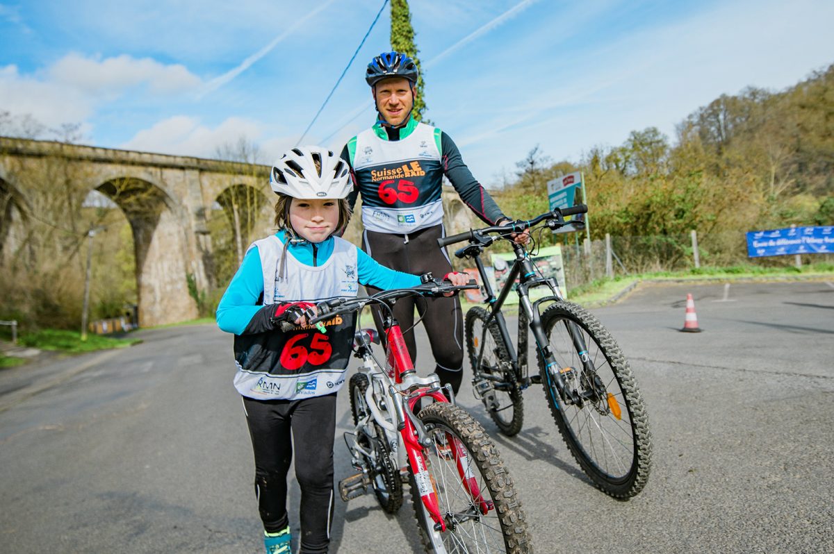
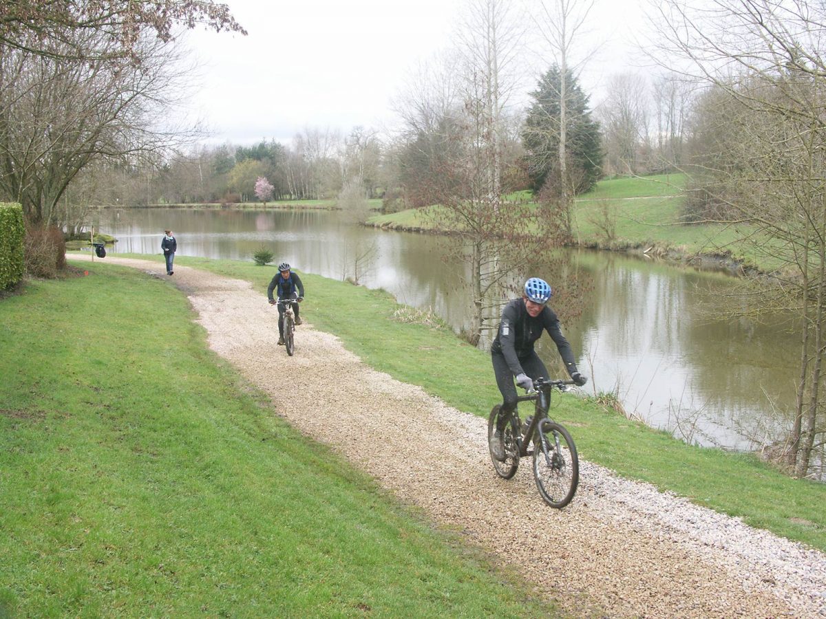
Normandy is a well-known mountain biking destination for the variety of its landscapes and great trails options. Whether it’s family-friendly rides on flat terrain or more challenging mountain biking on rugged terrain you’re after, all five of Normandy’s départements offer stunning cycle routes and mountain biking trails to suit all abilities.
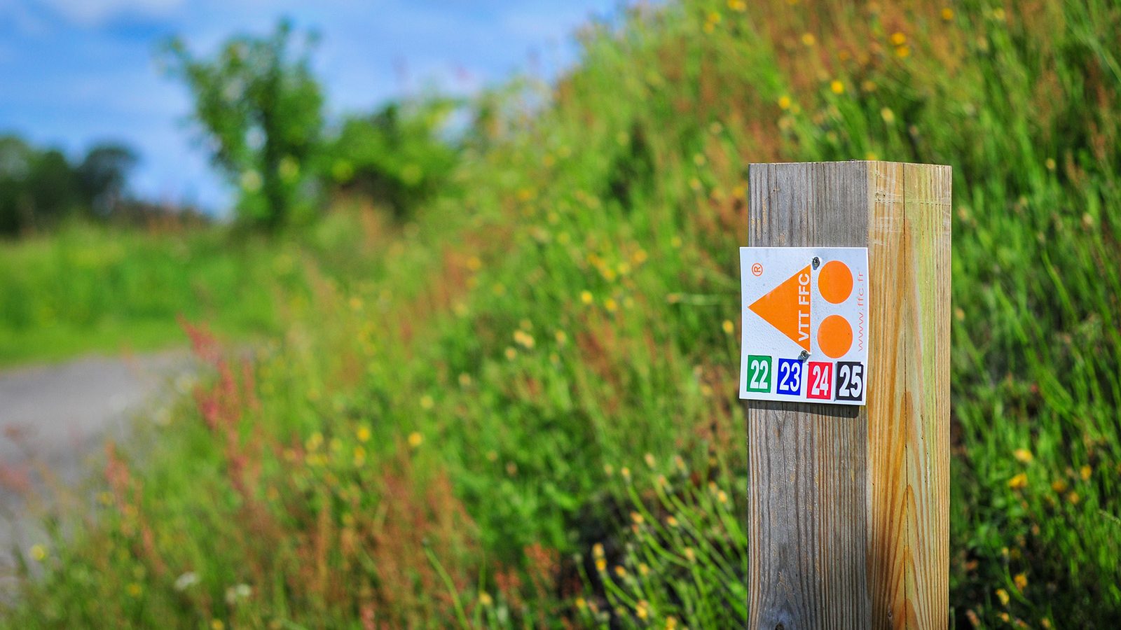
The Calvados département is one of the ‘must ride’ areas for mountain biking. It features several mountain bike sites, some of which are labelled by the French Cyclotourism Federation, such as in the bocage virois or the valleys of the Suisse Normande for more challenging riding. Mountain biking trails can also be found around Lisieux and around Falaise. For inspiration, check out the cycle guide for itineraries in Calvados by selecting them in ‘targets’ – ‘mountain bike’.
Whether you’re an adrenaline-seeking speed addict, a cross country fanatic craving a leg-stretching long ride, or simply want to experience off-road biking in a beautiful and inspiring environment — the Eure département has got the mountain biking trails for you, such as the Chemin des sources bleues trail in Aizier or the Chemin du Rossignol in Saint-Philbert-sur-Risle. Find more information here.
The Manche département offers a striking collection of cycling and mountain biking opportunities, with more than 100 mountain bike trails that showcase the area’s diverse landscapes from Tatihou to the Mont-Saint-Michel, via Saint-Lô or Villedieu-Les-Poêles. From advanced competitors to beginners and families, you can also discover trails to suit your skill level on the mountain bike website labeled by the French Cyclist Federation in the Vallée de la Sée.
Discover more than 80 dedicated mountain bike trails in the Seine-Maritime département around Auffay, Bacqueville-en-Caux, Longueville-sur-Scie, Mesnières-en-Bray, Neufchatel-en-Bray or in the Val-de-Saane. So, grab your helmet and head out for a beautiful mountain bike ride from the selection here. The mountain bike federation VTT-FFC website in Caux Vallée de Seine also features some itineraries here.
Explore kilometres of mountain biking trails in the Orne département, from gentle family friendly off-road routes in the forest to bike skills areas or adrenaline-fueled downhill MTB. The area boasts four mountain bike sites acknowledged by the cycling federation: the Andaines and Donfrontais site, the Alpes Mancelles site, the Pays d’Auge site and the Suisse-Normande mountain biking website. Find all more useful information here.
MOUNTAIN bike trails in normandy


La Seine à Vélo®


En Seine-Maritime, La Seine à vélo®, c'est 120km d'itinéraire aménagé pour vous faire découvrir les richesses patrimoniales de la Vallée de la Seine. Abbayes normandes, forêts séculaires ou encore vergers de la route des fruits se laissent entrevoir à chaque kilomètre parcouru.
Infos pratiques :
Lorsque vous venez de Rouen, après Berville-sur-Seine 2 possibilités s'offrent à vous :
- Vous choisissez de visiter la boucle de Jumièges et suivez la trace gpx
- vous choisissez de rejoindre Duclair et directement la voie verte qui vous mènera directement à Caudebec-en-Caux. Dans ce cas, une fois passé Berville-sur-Seine, continuez tout droit vers le bac de Duclair qui vous permettra de traverser la Seine. A Duclair roulez quelques mètres sur l'Avenue René Coty puis prenez à droite rue de Ronnenberg qui vous permettra de rejoindre la voie verte.

AERIAL PHOTOS / IGN


OPEN STREET MAP


Starting point
76600 Le Havre

Les quais
L’histoire des quais s’écrit au fil de l’eau, ancrée dans son passé et totalement tournée vers demain. De l’ancien pont transbordeur, l’un des symboles fort de la ville au pont Flaubert, en passant par l’aménagement des quais et les réhabilitations industrielles, il s’agit de renouer Rouen avec le fleuve. C’est sûrement la partie de la ville qui se métamorphose le plus depuis quelques années.