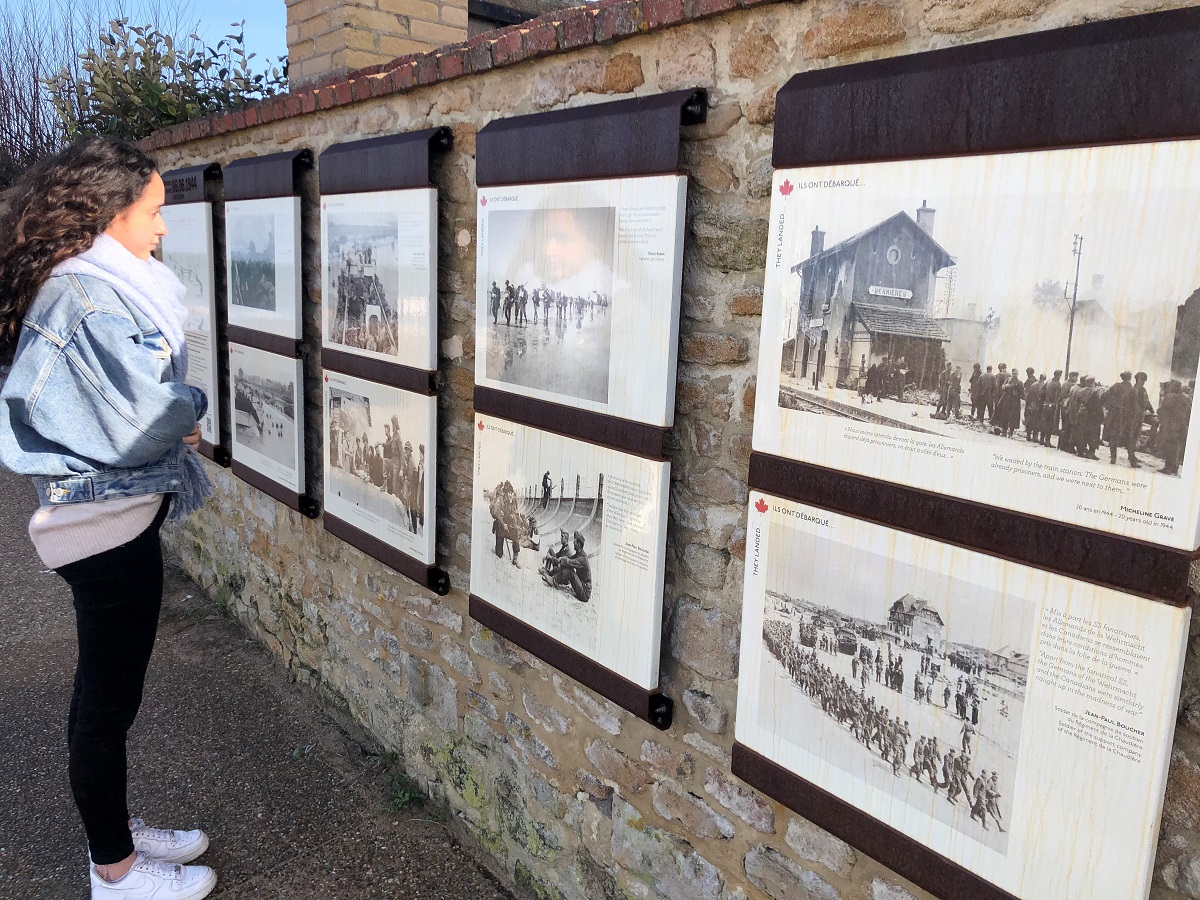
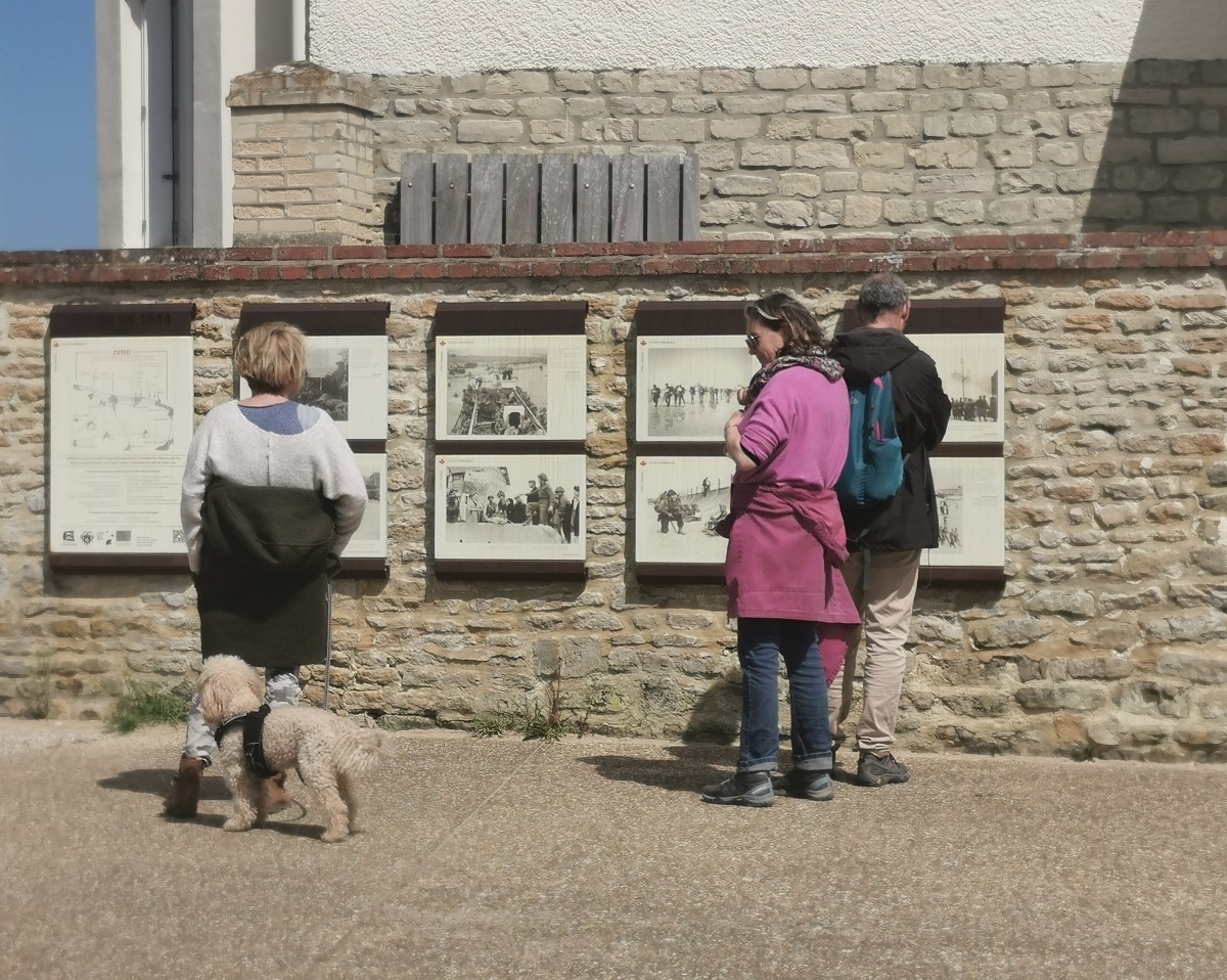
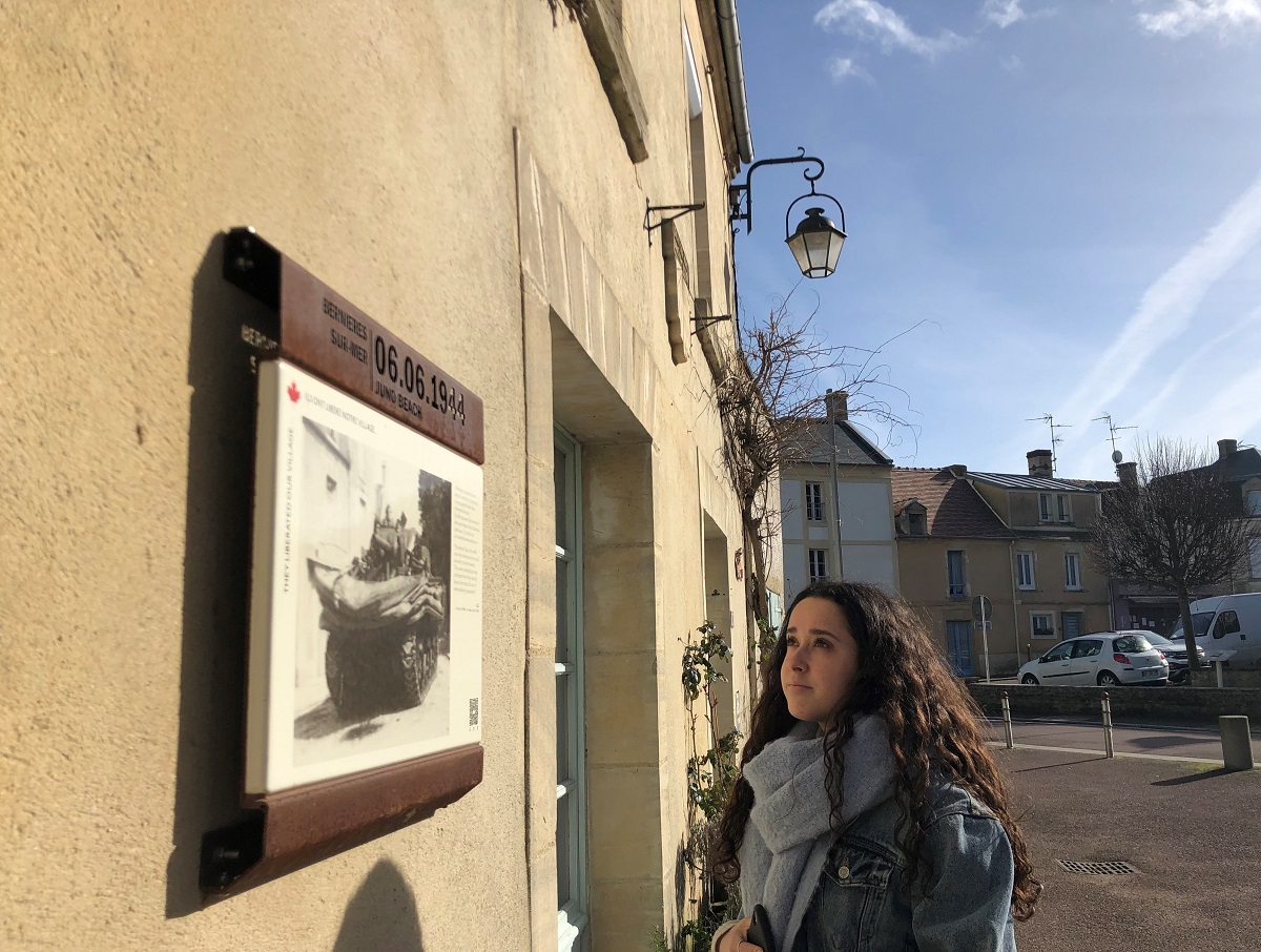

In the footsteps of the Canadian regiments on June 6, 1944. On June 6, the objectives of the 3rd Canadian Infantry Division were to land on Juno, establish a solid bridgehead between Gold and Sword Beach to link up with British troops, and seize Carpiquet airport. On the barges, soldiers were shown a photo of the "famous house" at Bernières-sur-Mer, now known as the Maison des Canadiens. It was one of the landmarks for the landing on Juno Beach. It was then occupied by the British Admiral Cooper, who was in charge of coordinating all supply operations for Allied troops advancing inland until September 1944. Discover the history of the Allied landings at Bernières-sur-Mer via 2 signposted and geolocated routes, with the help of the Remem?Bernières web application. Some 30 period photos on outdoor supports line the two geolocated tours: "Ils ont débarqué" (They landed) and "Ils ont libéré notre village" (They liberated our village). A signposting system in the village allows you to follow the soldiers' route through Bernières-sur-Mer step by step. The Remem-Bernières application, free of charge and with no download required, is available 24/7 on smartphones, tablets and computers. You can consult it from home, or by scanning the QR codes on the outside supports of the 2 routes.
Prices
Free for all
Services
Sittings
- Animals welcome