Set off on an equestrian route along the 208-kilometre trail that connects La Baie des Veys (Géfosse-Fontenay) to Falaise. This captivating historical route traces the footsteps of William the Conqueror, following the path he rode in 1047 as he journeyed from Valognes to Falaise in under a day. Riders will be enchanted by the rich history and stunning landscapes that unfold along the way, creating a perfect blend of heritage and natural beauty.
The Horse Riding Trail

This horse-riding trail traces the legendary 150 km gallop of William the Conqueror, who made the journey to Falaise in just one day. In 1046, at the age of 19, William, Duke of Normandy and future King of England, faced constant threats from barons eager to seize control of the Duchy of Normandy. When he learned of a plot against his life, he took swift action, fleeing on horseback from the coast to Falaise. Avoiding busy roads, he raced across fields, navigated narrow paths, and traversed the rural landscape until he found refuge in Ryes, a village in the Bessin region, before continuing south to the safety of Falaise.
Today, this 208 km horse-riding trail pays homage to the journey of this remarkable medieval warrior and ruler. Beginning at the Baie des Veys (Géfosse-Fontenay), the route meanders through the Bessin, the enchanting bocage of Normandy, and the rugged terrain of the Suisse-Normande, culminating at the breathtaking Falaise Castle. Download the trail leaflet here!
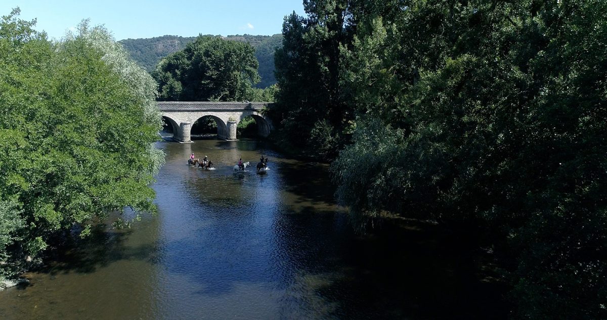
A 208km horse riding trail celebrating the journey of this great medieval character
Stages of the horseback trail
Download the trail and detailed maps to discover the must-see sites and practical information for the 8 stages of this trail:
- Stage 1 from Géfosse-Fontenay to Formigny: Maps 1, 2, 3 and 4
- Stage 2 from Formigny to Ryes: Maps 4 and 5
- Stage 3 from Ryes to Martragny: Maps 6, 7, 8
- Stage 4 from Martragny to Noyers-Bocage: Maps 9, 10, 11 and 12
- Stage 5 from Noyers-Bocage to Roucamps: Maps 12, 13, 14, 15 and 16
- Stage 6 from Roucamps to Le Vey / Clécy: Maps 16, 17, 18, 19
- Stage 7 from Le Vey / Clécy to Pont d’Ouilly: Maps 19 and 20
- Stage 8 from Pont d’Ouilly to Falaise: Maps 20, 21 and 22