Updated on 29 June 2020
Reading time: 3 minutes
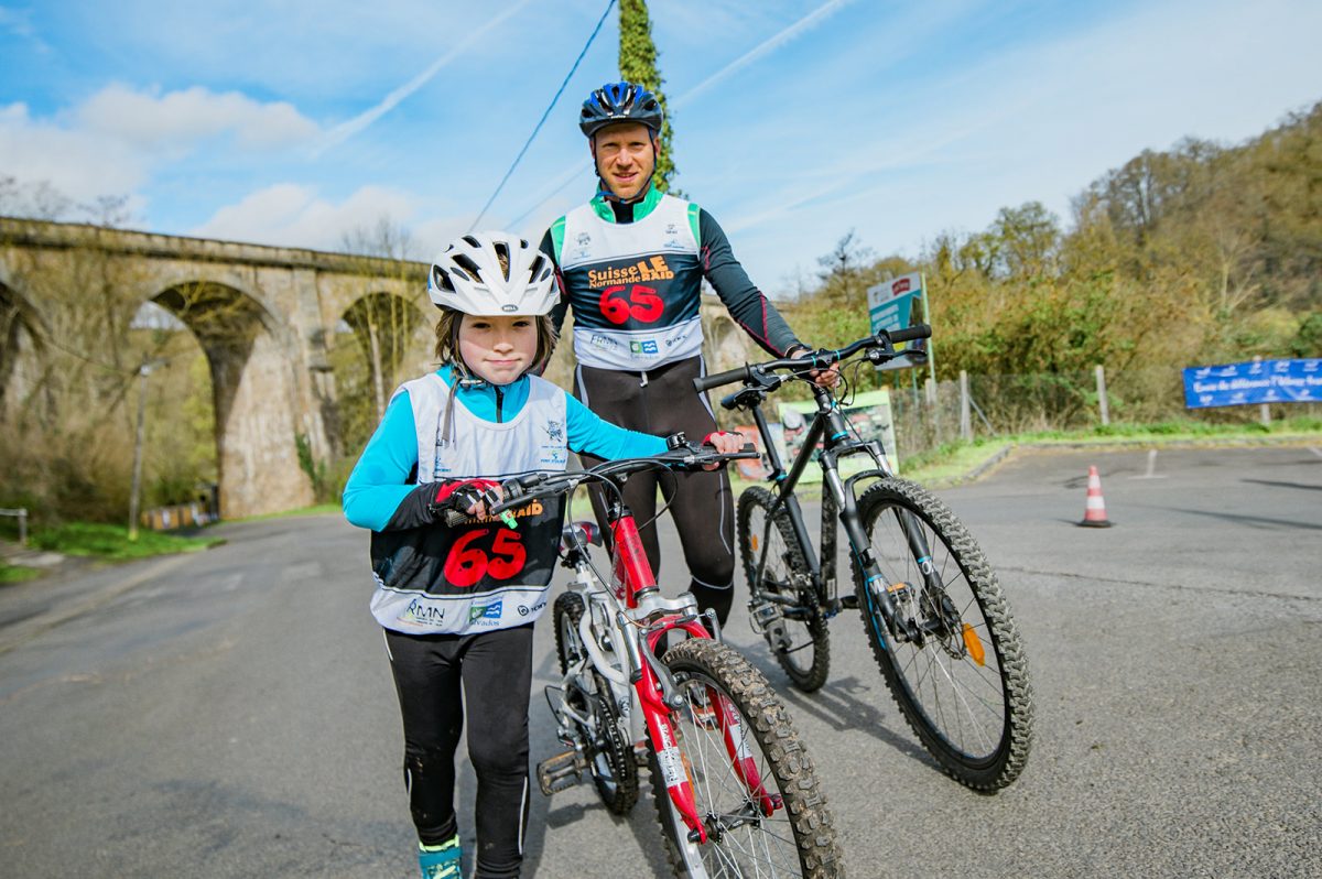
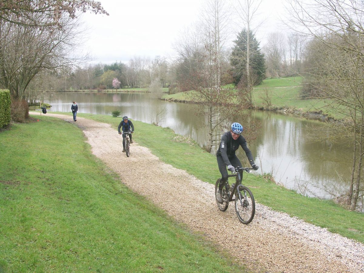
Normandy is a well-known mountain biking destination for the variety of its landscapes and great trails options. Whether it’s family-friendly rides on flat terrain or more challenging mountain biking on rugged terrain you’re after, all five of Normandy’s départements offer stunning cycle routes and mountain biking trails to suit all abilities.
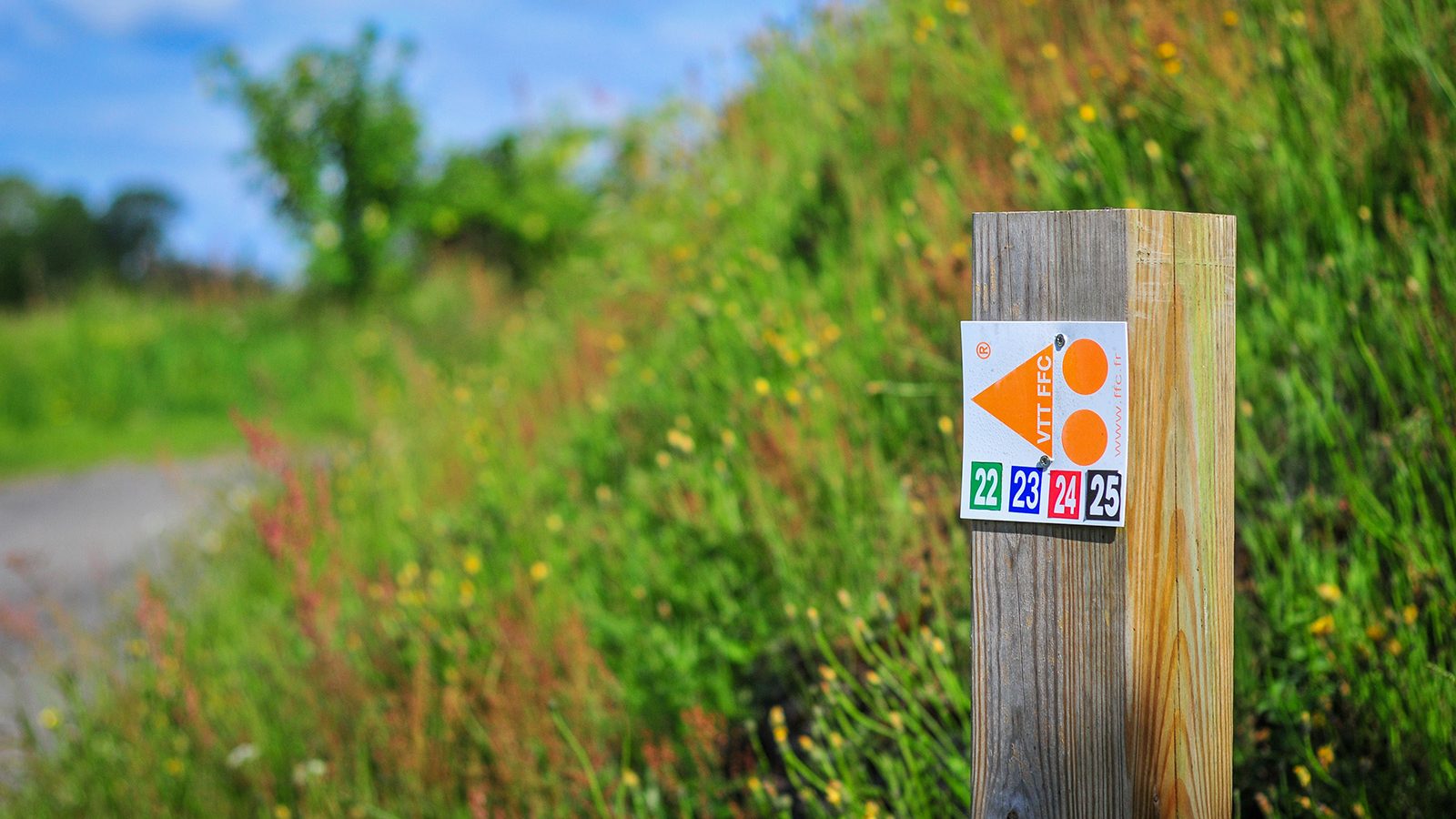
The Calvados département is one of the ‘must ride’ areas for mountain biking. It features several mountain bike sites, some of which are labelled by the French Cyclotourism Federation, such as in the bocage virois or the valleys of the Suisse Normande for more challenging riding. Mountain biking trails can also be found around Lisieux and around Falaise. For inspiration, check out the cycle guide for itineraries in Calvados by selecting them in ‘targets’ – ‘mountain bike’.
Whether you’re an adrenaline-seeking speed addict, a cross country fanatic craving a leg-stretching long ride, or simply want to experience off-road biking in a beautiful and inspiring environment — the Eure département has got the mountain biking trails for you, such as the Chemin des sources bleues trail in Aizier or the Chemin du Rossignol in Saint-Philbert-sur-Risle. Find more information here.
The Manche département offers a striking collection of cycling and mountain biking opportunities, with more than 100 mountain bike trails that showcase the area’s diverse landscapes from Tatihou to the Mont-Saint-Michel, via Saint-Lô or Villedieu-Les-Poêles. From advanced competitors to beginners and families, you can also discover trails to suit your skill level on the mountain bike website labeled by the French Cyclist Federation in the Vallée de la Sée.
Discover more than 80 dedicated mountain bike trails in the Seine-Maritime département around Auffay, Bacqueville-en-Caux, Longueville-sur-Scie, Mesnières-en-Bray, Neufchatel-en-Bray or in the Val-de-Saane. So, grab your helmet and head out for a beautiful mountain bike ride from the selection here. The mountain bike federation VTT-FFC website in Caux Vallée de Seine also features some itineraries here.
Explore kilometres of mountain biking trails in the Orne département, from gentle family friendly off-road routes in the forest to bike skills areas or adrenaline-fueled downhill MTB. The area boasts four mountain bike sites acknowledged by the cycling federation: the Andaines and Donfrontais site, the Alpes Mancelles site, the Pays d’Auge site and the Suisse-Normande mountain biking website. Find all more useful information here.
MOUNTAIN bike trails in normandy


Sentier de Crémanfleur


Une balade bucolique à travers de charmants chemins, bois et vallées vous faisant franchir la rivière Orange. Vous profiterez de beaux points de vues sur le Pont de Normandie, la ville d’Honfleur et l’estuaire de la Seine et vous découvrirez le charme des bourgs du canton.

AERIAL PHOTOS / IGN


OPEN STREET MAP


Starting point

1 Information directionnelle n°1
Votre balade commence au chemin du banc sur le parking de l’école de la
Rivière-Saint-Sauveur. Traverser la route, puis pénétrer dans le parc de la
Morelle.Passer sous le pont de l’autoroute, puis tout droit rue du port. Traverser
la rivière. Vous pouvez effectuer un aller-retour jusqu’à l’église. Poursuivez vers
la rue du Viaduc.
2 Information directionnelle n°2
Juste après le viaduc, grimper sur votre gauche la rue Gustave Binet puis
traverser la D140 (attention à la circulation). Prendre en face le chemin des
Limites. Traverser la route des Vats, puis monter la côte des Buis.
3 Information directionnelle n°3
En haut de la côte des Buis, prendre à droite dans les bois. Vous observerez le
magnifique panorama sur l’estuaire de la Seine. Une fois sur le goudron, prendre
à gauche puis à droite sur le chemin des Bruyères. Vous emprunterez ensuite un
chemin de terre abrupte sur votre gauche qui vous mènera dans le bourg
d’Ablon.
4 Information directionnelle n°4
Dans le bourg, prendre la rue des Lilas puis la rue des Tilleuls sur votre gauche et
traverser la plaine. Traverser la D140 (attention à la circulation) puis emprunter
le chemin de terre en face. Tourner à gauche sur le chemin du Val de Crémanville.
5 Information directionnelle n°5
Prendre à droite le chemin qui vous conduira vers l’Orange. Vous y trouverez une
table pour faire une pause.
6 Information directionnelle n°6
Une fois en haut, prendre la D277 à droite puis grimper dans les bois sur votre
gauche. Vous passerez derrière le château de Prêtreville.
7 Information directionnelle n°7
Tourner à droite vers le chemin des Monts d’Auboeufs qui vous mènera vers le
bourg de la Rivière-Saint-Sauveur par un joli chemin ombragé et boisé. A l’issu du
chemin, traverser la D277 puis continuer tout droit sur le sentier des Essarts. De
retour sur le goudron, prendre à droite puis tout de suite à gauche en longeant la
rivière. Repasser sous le viaduc puis retourner à votre point de départ.